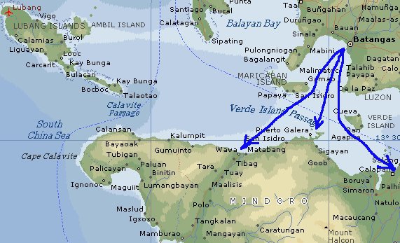
Batangas City ferry terminal is the main jump-off point for visitors and locals alike. There are three destinations to consider: Puerto Galera (Balatero pier for the car ferry and Puerto Galera center for the Sikat passenger service); Calapan the provincial capital of the western province; and finally Abra de Ilog (Wawa on the map), the northern end of the western coastal road. The distances are 28, 40 and 45 kilometers respectively.
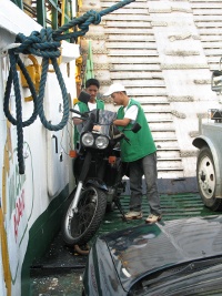
Puerto Galera where most tourists go, is also serviced by the Sabang Princess ferry (departing from Batangas City ferry terminal, as well as by smaller bankas departing from Lea Beach south of Batangas City. These services do not carry vehicles.
Route
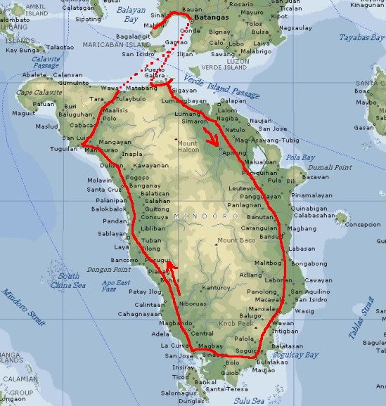
I started from my beachhouse in Anilao, Mabini early in the morning. The plan was to take the ferry to Abra de Ilog (Wawa on the map), and then drive south along the western coast, around the southern tip and then back north to Puerto Galera along the eastern coast. Note that tall and steep mountains along the north-south axis split Mindoro in two. There are no roads anywhere from east to west - not even from Abra de Ilog to Puerto Galera.
However, due to misinformation regarding the ferry schedules, the ferry to Abra de Ilog was sailing out of Batangas harbour when I arrived there around eight in the morning. Since the wait for the next ferry was rather long, I decided to take a ferry to Balatero near Puerto Galera instead, and then traverse the planned route in reverse. I thus ended up staying the first day in Puerto Galera.
