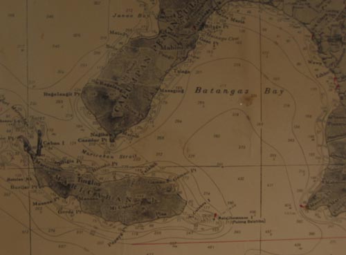
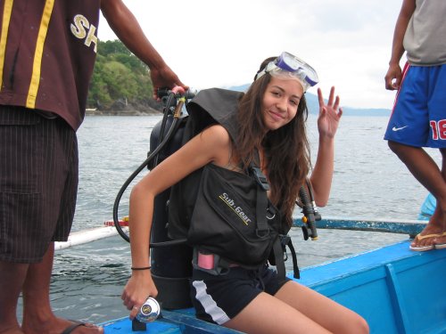
My first dive ever was just outside the Seafari Resort in Anilao on June 15th, 1985, concluding the Philippine Sub-Aqua Club's training course I had joined a few months earlier. Then followed more than two hundred dives mostly in the Anilao area (Calumpan Peninsula, Ligpo Island, Sombrero Island, Maricaban Island), but also in Bonito Island, Verde Island, Puerto Galera, Fortune Island, Bohol, Dumaguete, Siquijor, Apo Island, Subic Bay and Tubataha Reef.
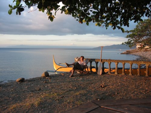
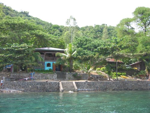
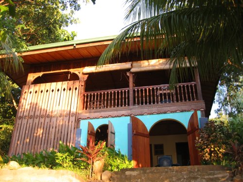
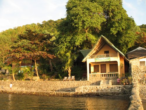
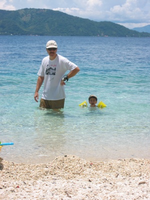
I left the Philippines in May 1988, but went back in November 1991 and stayed on for another 15 years. I returned to Anilao as soon as I was back, and bought an 800 square meter beach lot in barangay Ligaya in February 1995. The beach house I dreamed about was ready for occupancy by Easter the same year. We named the place Tamarind Beach, after the more than a hunded year old tamarind tree which stands on the southern end of the property. During the following seven years I bought four adjoining lots, and ended up with a fairly big place with three houses, a garden pavillion and a shed, and some 4600 square meters of beach land stretching from the national road down to Balayan Bay. I left again in March 2006, and visited in 2007, however in September 2008 I sold the entire development - since I neither had time to use it nor to maintain it properly.
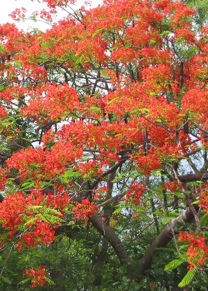
Tamarind
Large tree, to 10 meter or taller. Leaves are even-pinnate and up to 10 cm long; leaflets are oblong, to 2 cm long, flowers are light yellow with pink stripes. Fruit is oblong, constricted, thick and to 15 cm long, with fleshy, acidic and edible mesocarp. Probably native to tropical Africa. Now pantropic. Introduced to the Philippines in prehistoric times. Widely cultivated around the country. Grown mainly for its edible, sweet-sour fruit. Genius name is from the Arabic word Tamar-Hindu meaning "Indian date."
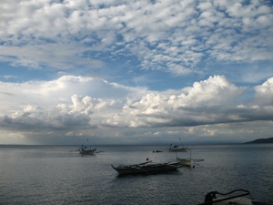
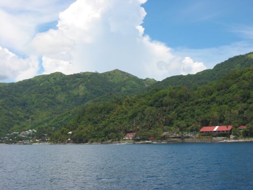
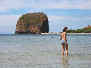
Anilao is first and foremost known for its dive sites which are among the best in the Philippines and at the same time very accessible. From north to south I will specifically mention the rocky seascapes around Ligpo Island, the sanctuary near Dive&Trek, the Cathedral, Arthur's Rock, Twin Rocks, the eastern tip of Caban Island, Sepoc Wall and Beatrice outside Sombrero Island. My last dive in Anilao was at Twin Rocks on February 17th, 2010. Due to conservation efforts, the sea was teeming with fish - much more plentiful and and much bigger than when I started diving a quarter of a century earlier.
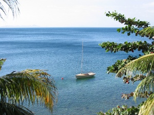
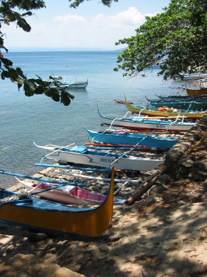
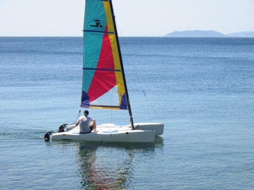
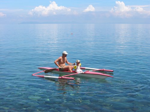
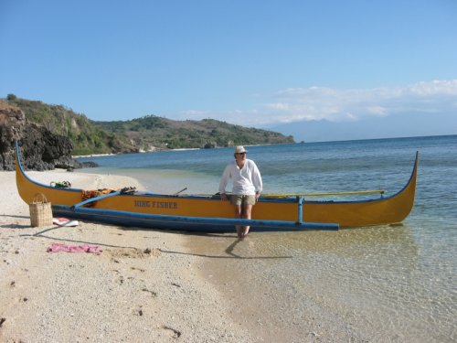
I've had several boats at Tamarind Beach: a full-size dive banka (which became too crew-intensive for my taste), two Solo-type fishing bankas with Briggs and Stratton and Honda 16 hp inboards, a Hobie Cat Wave catamaran and a Wayfarer sailboat, besides a number of small paddle bankas of traditional design. I sailed the dive bankas once to Puerto Galera, and circumnavigated Maricaban Island a number of times with the Solo-bankas, and once crossed Balayan Bay to Calatagan and upon meeting adverse weather on the other side struggled hard to make it back home. I capsized the sailboats a number of times and was on the point of giving up a couple of times when I drifted steadily towards the South China Sea uanble to get them on right keel. I have spent many hours trawling after tuna, but never got anything (except a torn line when I surely hooked a big one), however I was once hit in the chest by a jumping one while sailing my banka through Maricaban Strait.
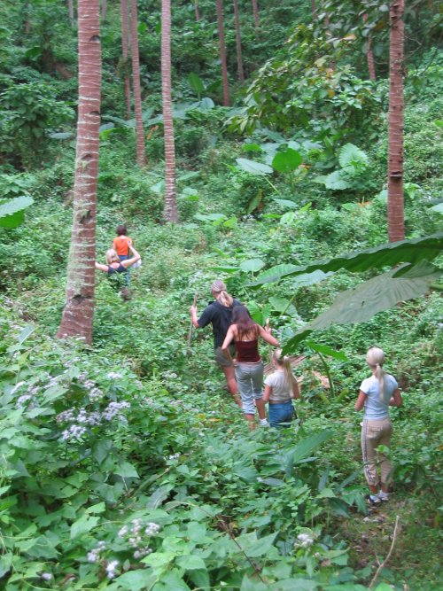
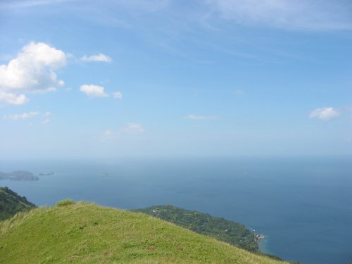
Calumpang Peninsula (imprecisely referred to as Anilao) is also a rewarding place for hiking. If you start early in the morning you can make it to Mount Panay at 580 meters above sea-level from Barangay Ligaya and be back for lunch. Mount Panay has 360 degrees views of a good part of Batangas Province, and you can also see Mindoro, Lubang Island, and Tagaytay.
I will always treasure the 400 or so weekends I spent on Tamarind Beach - and I look forwarding to visiting in the future.